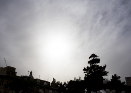
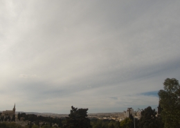
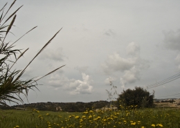
Cs fibratus

Cirrostratus cloud preceding an autumnal storm before hitting Malta late at night. However, it weakened considerably upon reaching the Island due to unfavourable weather conditions. The storm began its life over Tunisia due to daytime heating then moved northeastwards. The satellite image shows the former storm`s radial cirrus bands as it had weakened considerably when it reached Malta late at night. The storm could have possibly intensified if diurnal heating was still present as that heating could have easily eroded the subsidence-inversion shown in the attached weather sounding.


Leave a Reply
Want to join the discussion?Feel free to contribute!