Cs fibratus
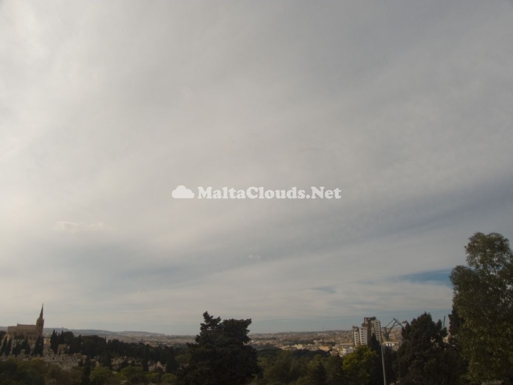
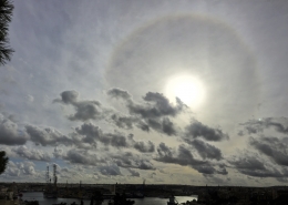
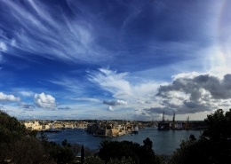
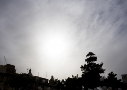
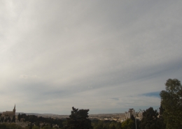
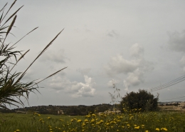
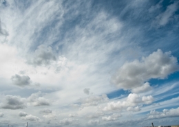
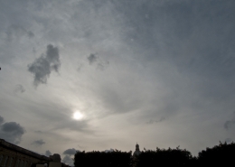
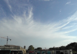
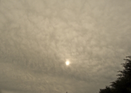
This extensive cloud cover was formed at high altitude at least above 8km according to the weather sounding and has appeared as wispy trails and perhaps some mammatus with it. It was driven by relatively strong westerly jet steam winds averaging around 135kmh. This cloud seemed to have covered a large swath of the area as indicated by the visible satellite image. Cumulus clouds (first thumbnail) formed over the northeastern side of the area which remained free from such cloud all the time. The reason seems to be that intervening lower cloud layers block the rising water particles from rising further to higher levels where it become ice crystals hence forming such cloud. The second thumbnail shows a man-made contrail which is expanding and becoming part of the cirrostratus clouds due to the general environment of high humidity causing additional water vapour to condense within the artificially created cloud composed of ice crystals. The third thumbnail shows cirrostratus clouds letting much of the sunshine pass through them and perhaps a possible distrail in the background on the right hand side.



Leave a Reply
Want to join the discussion?Feel free to contribute!