Cs fibratus

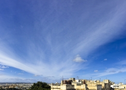
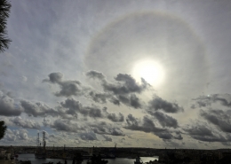
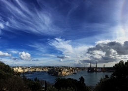
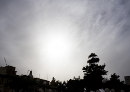
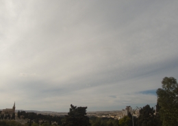
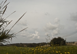
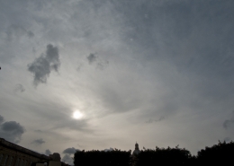
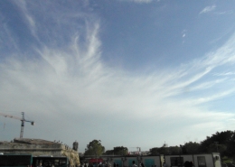
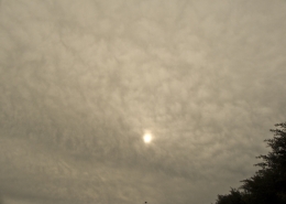
This photo shows the formation of invading Cirrostratus fibratus clouds in the form of a continuous veil. Part of the cloud is in the shadow of the Earth hence looking grey, while the less background layer has fibratus bands streaming from the west-south-west (bottom left to top right). The setting sun was easily visible through the high-level cloud. On the left hand side, one could notice small lower-level clouds. These small tufts of cumuliform clouds are actually altocumulus floccus, their formation indicating mid-level instability due to an approaching upper-level trough as per third thumbnail. Notice that the top left cloud was in the process of transforming into altocumulus stratiformis undulatus cloud being stretched by probable very strong WSW currents at its level. The upper-level trough association is confirmed by the visible satellite image on the fourth thumbnail showing the same clouds on photo from space. Small thunderstorms had formed over Tunisia. These dissipated overnight whilst passing over the Maltese Islands leaving behind them only some rain. The first thumbnail is another photo showing cirrostratus clouds looking towards the north. Finally, the second thumbnail is the weather sounding showing plenty of upper-level moisture and strong to very strong upper-level WSW winds to which the clouds were aligned with.






Leave a Reply
Want to join the discussion?Feel free to contribute!