St undulatus

Taken 21Apr18 at around 12:45 CEST in Wied iz-Zurrieq, Malta. This panoramic photo shows 3 types of clouds being developing altocumulus stratiformis perlucidus clouds on the top right hand side, a cumulus cloud due to daytime heating on the top left and a stratus undulatus cloud almost touching the ground, the latter cloud which is explained in detail herewith.
Normally, stratus clouds appear in patches. However, the photographed stratus cloud is much similar to a roll cloud or potentially a Morning Glory hanging very low in the sky almost touching the steep hills below it. Given that Wied iz-Zurrieq stands at less than 150 metres above sea level, it is clear that this cloud height was of below 200 metres hence given the genus of stratus. Undulatus species on stratus is a rare occurance.
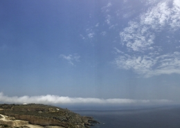
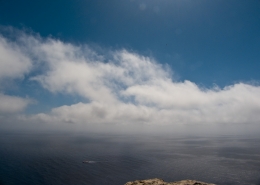
Analyzing the photo, it looked like that the stratus roll began to rise upwards once hitting the ground and taking on cumuliform features at its top, click on the first thumbnail for a much closer look of the cloud in description. The common thing with a Morning Glory is that the cloud was associated with the onset of sea breezes as the land heated up considerably (a MAX air temperature of 26C was recorded in Luqa) whilst the sea temperature was 17C. Sea breezes might have caused local wind shear to act on any approaching stratus bank from the sea creating the right arrangment. Whilst unfortunately detailed weather readings are unavailable for this location, I will attempt to discuss the weather situation of the day through the thumbnails.
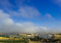
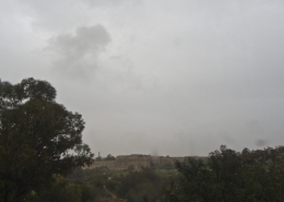
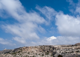
The first two thumbnails show a closer view of the explained cloud rvealing the described characteristics. The third thumbnail is the general weather sounding during that morning over the Maltese Islands. Whilst weather conditions had to be perfectly right for the geography of that particular location, the background atmospheric profile was very light surface winds along with temperature that remained stable with height, the sea could have locally cooled the surface air even further to create an inversion. This cooled air might have been forced to rise slowly through the steep hills thanks to a prevailing light westerly wind. In turn, the rising marine cooled airmass might have led to its further cooling being just enough for very low clouds to form and then not being able to rise further due to a stable atmosphere. The fourth and fifth thumbnails are the general visible satellite image of the Central Mediterranean and one zoomed in over Malta with the ‘X’ marker indicating the location from where the photo was taken and the red circle showing that the photographed stratus undulatus cloud was even visible from space. Landmass thunderstorm clouds had formed over mainland Sicily whilst the sea around the Maltese Islands was characterized by various low clouds or sea fog patches which are normal for April given that the strong sun efficiently heats the land versus the thermal inertia of the comparatively cold spring waters.



Leave a Reply
Want to join the discussion?Feel free to contribute!