Cs fibratus

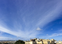
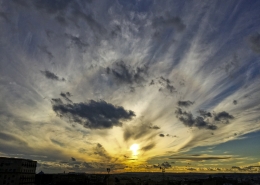
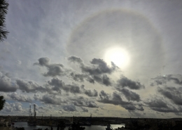
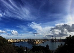
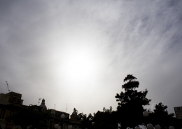
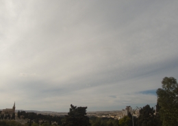
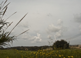
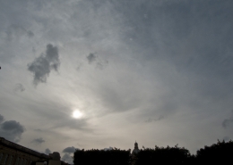
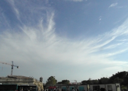
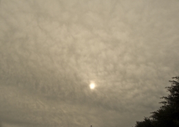
On the edge of the approaching clouds, the 22 degree halo gives this cloud formation away as cirrostratus fibratus which is differentiated from nebulosus by its filaments invading the sky. However, the sun’s disk underneath the same cloud is looking very milky rather than hazy and also the cloud cover looks thicker, both characteristics being more typical of altostratus clouds. By looking at both the weather sounding and the visible satellite image on the second and third thumbnails respectively, it’s probably a less common case of thinning cirrus spissatus clouds because the height was indicated to be at an altitude of well above 6km. However, in the background, patches of altostratus clouds were also observed despite the weather sounding not indicating these clouds. The cumulus fractus clouds are unrelated and were formed due to heat thermals rising from a warmer sea as the Maltese Islands were dominated by a cold airamss vide the 850mb temp on the fifth thumbnail. The first thumbnail is a complete solar halo photo caused by cirrostratus fibratus clouds earlier in the day at around solar noon. These clouds are normally harbingers of bad weather and it stood true for the following days as a low pressure system was developing over the Gulf of Sirte as indicated by the cloud cover in the area and a close-by warm front. As usual the deepining of the low pressure was aided by a strong overhead jet stream in the sixth thumbnail. Of note is that cirrostratus clouds have also developed on the 22Dec17 following the end of the Gregale storm that effected the Islands on the 21st and the 22nd of December.





Leave a Reply
Want to join the discussion?Feel free to contribute!