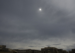
As translucidus

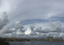
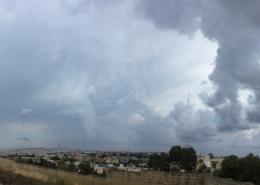
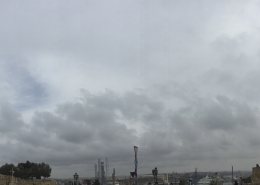
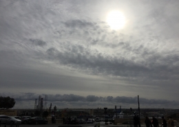
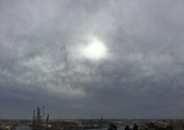
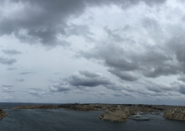
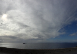
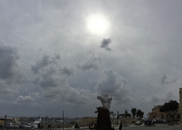
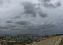
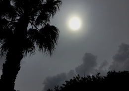
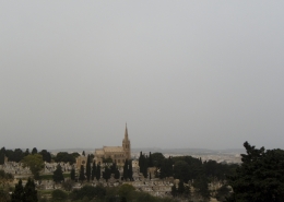
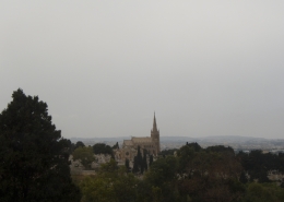
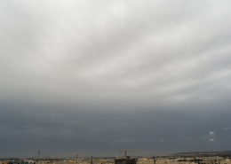
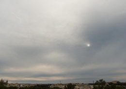
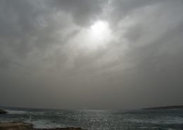
Formation of altostratus clouds resulting from the lifting of a relatively stable upper-level airmass as a maximum positive vorticity passed over the Maltese Islands. This was indicated by the red colour at the 500mb chart represented in the third thumbnail. The clouds were the first signal of an expanding heat low pressure system over North Africa, typical of the Spring season but which was going to bring a large dust haze over most of Europe. The cloud was identified as altostratus translucidus because the sun’s position was easily identified under the greyish cloud cover. There were also hints of radiatus formation in the foreground as the cloud was slowly invading the sky and this could have occured as a result of some wind shear at that level. The visible satellite image on the second thumbnail depicts the thin cloud cover in detail focusing over the Maltese Islands and the adjacent North African landmass. The first thumbnail photo was taken about an hour earlier showing the arrival of cirrostratus or altostratus with cloud gaps as the sun was able to penetrate around it. In both photos, stratocumulus floccus were observed. These seemed to be related with landmass convection from a rather cool and moist easterly wind blowing over the area after travelling over quite a large stretch of sea.








Leave a Reply
Want to join the discussion?Feel free to contribute!