Ns praecipitatio

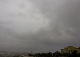
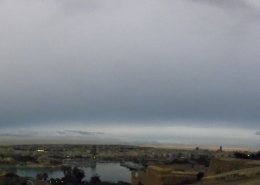
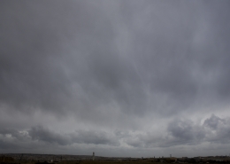
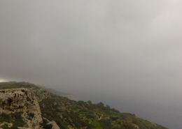
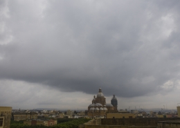
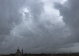
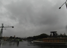
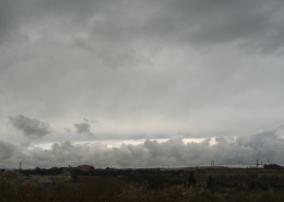
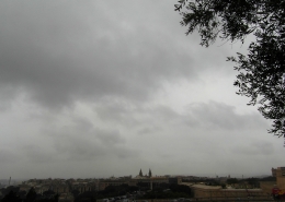
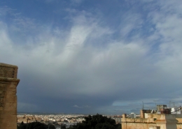
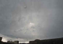
A uniform grey and misty skyline with light drizzle (rain rate of less than 1mm per hour) characteristic of nimbostratus clouds. Actually, the very widespread cloud cover kept on alternating between nimbostratus praecipitatio when producing drizzle thinning to altostratus opacus and back to nimbostratus. In fact, the photo of the first thumbnail taken about an hour later shows altostratus opacus clouds. This is differentiated from the main photo through having a lighter shade of grey and a less diffuse base since the rain had stopped for that moment, also the position of the sun was slightly revealed but not enough to become translucidus. The second thumbnail is the weather sounding showing lots of moisture along with a strong jet stream but little instability, all favouring the formation of nimbostratus clouds as a warm conveyor belt was present over the Islands. There was conflicting data between this and the surface pressure map showing a cold front as per third thumbnail. In reality, it was noticed that it was almost a stationary front with the front sometimes transitioning between a cold and a warm front which under stable conditions only produced long periods of light rain barely reaching 3mm in total during the day despite the grey cloud cover. The fourth and fifth thumbnails are the visible satellite image and the freezing level respectively corresponding with the contrast between a cold and warm airmass under very stable conditions.






Leave a Reply
Want to join the discussion?Feel free to contribute!