Ns praecipitatio

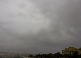
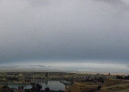
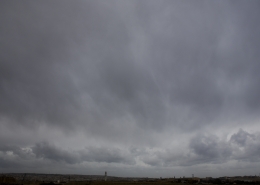
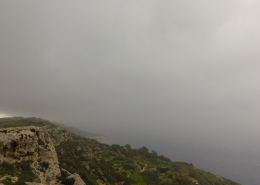
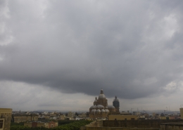
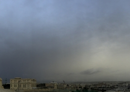
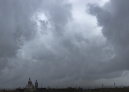
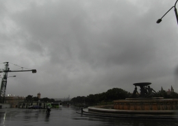
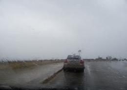
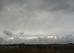
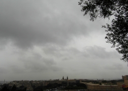
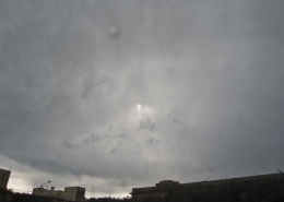
Layered cloud producing continuous precipitation. This widespread cloud formed because of an occluded front passing over the Maltese Islands whose associated low pressure had already decayed. This meant that surface pressure was around 1022mb on the day. Underneath this cloud, one can clearly see evenly low layer clouds. The latter is defined as `stratus of bad weather` when due to continous rain, the air at very low levels becomes very humid leading to their formation when falling precipitation tends to evaporate. Stratus of bad weather can be seen as fog on higher ground. The first thumbnail shows another view of this nimbostratus overlooking Valletta harbour, the second shows the weather surface pressure chart as explained within this description and the third thumbnail shows the day`s weather sounding which indicated plenty of moisture and little instability throughout the whole atmosphere. Moisture throughout the height of the atmosphere ensured that the sun would not be able to break this cloud as usually happens.







Leave a Reply
Want to join the discussion?Feel free to contribute!