As translucidus

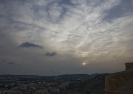
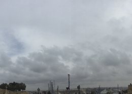
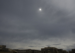
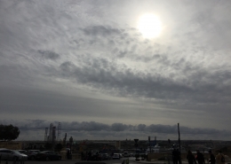
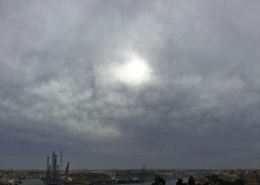
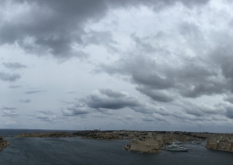
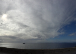
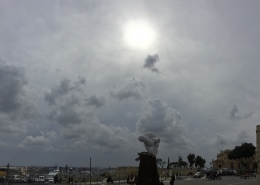
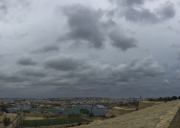
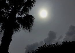
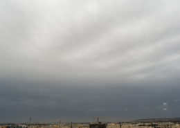
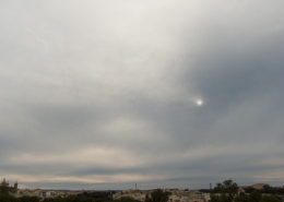
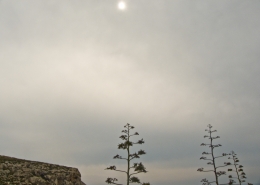
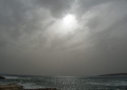
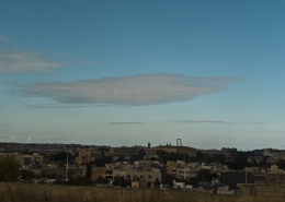
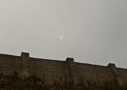
The high clouds on the day was identified as cirrus by cloud observations (throughout the observation times). This cloud photo was taken at 1412 CET (an hour later than the previous observation). However, it looked more like cirrostratus or altostratus. The difference between cirrostratus nebulosus and this cloud identified as altostratus translucidus is very subtle basically that altostratus is thicker than cirrostratus. According to the weather sounding in the first thumbnail, this seemed to be a hybrid of both mentioned clouds due to the following reasons: (1) The cloud base was very high, above 5.6km altitude. (2) Whilst they looked thin enough to be cirrostratus, no halo was observed around the sun. (3) Their bluish colour was similar to typical altostratus though the sun looked less dim above these clouds. The whole cloud formation and cumulus clouds were associated with a cut-off upper-level low moving southwestwards towards the Gulf of Gabes. Whilst a few thunderstorm clouds did develop inside this upper low, none of them hit the Maltese Islands mostly because of the lack of forcing as the sea was at its coolest though such clouds did harbinger bad weather.





Leave a Reply
Want to join the discussion?Feel free to contribute!