As opacus

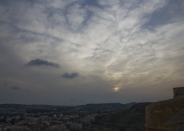
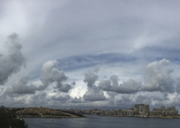
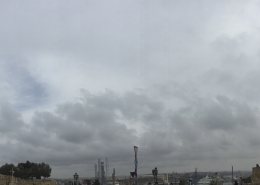
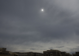
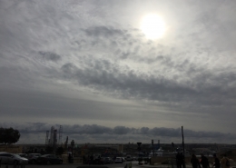
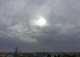
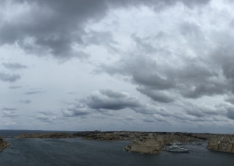
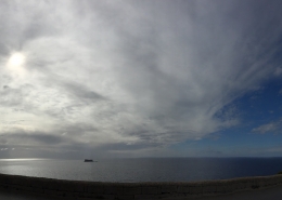
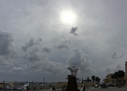
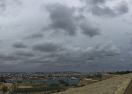
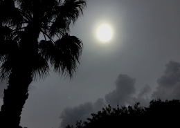
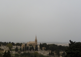
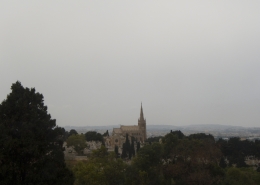
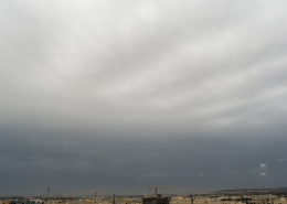
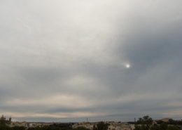
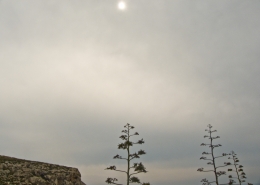
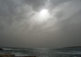
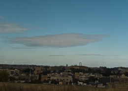
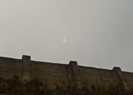
Formation of altostratus opacus clouds identified as such due to its uniformity and lack of particular features. Althaugh there is a gap of blue sky in the panoramic photo, this cloud looked thick enough to cover the sun. Furthermore, notice the stratocumulus floccus clouds in the background which is not related with the altostratus above it hence not including the pannus variety with it. The stratocumulus clouds were the result of a very humid easterly wind blowing lightly at the surface generating clouds similar to a wet airmass following rain. The air underneath it was turbulent though as the weather sounding showed shifting light winds from the NE to SE in the first 3km of the atmosphere and of course the wind at the surface might have been enhanced by a sea breeze due to strong April sunshine even under cloudy conditions.
The formation of the day’s clouds were the result of a closed upper-level trough showed by a cold drop over the Maltese Islands as per second thumbnail. This had resulted in numerous thunderstorms over Sicily but none over the Maltese Islands because of the still cold sea temperature of 16C inhibiting convection hence producing a convective inhibition as shown in the weather sounding (first thumbnail) through LCL indicating this and level of free convection only starting at above 2km. Due to the very small size of the Maltese Islands, landmass heating is not enough to break this inhibition unlike the larger Island of Sicily to produce its own thunderstorms. If it was Autumn, such a weather situation would trigger heavy thunderstorms because the upper-level trough would be amplified by rising heat and moisture from a warm sea.





Leave a Reply
Want to join the discussion?Feel free to contribute!