Ns pannus

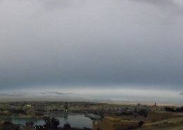
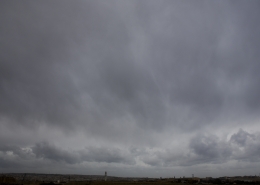
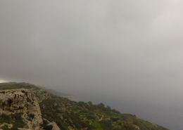
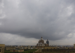
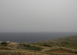
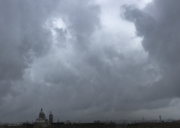
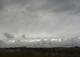
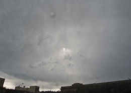
This photo shows the formation of thinning Nimbostratus praecipitatio pannus cumulonimbogenitus clouds which formed by the spreading out of cumulonimbus clouds inside an already moist background airmass as indicated by the weather sounding on the first thumbnail following early morning thunderstorms. In fact, this sounding showed stratiform clouds between altitudes of 0.7km and 5.6km. The surface was very wet from that early morning storm and a light mist could be seen in the background due to reduced visibility from falling rain drops. The dark cloud with a clear base is cumulus congestus of wet weather forming by evaporating rainfall in a very moist and unstable airmass. This weather was caused by an extended trough (solid black line) near the Maltese Islands which correspond with the clouds observed from the visible satellite image depicting the spreading out of cumulonimbus clouds as described. Kindly refer to the surface pressure chart and the sat image on the second and third thumbnails respectively.










Leave a Reply
Want to join the discussion?Feel free to contribute!