Ns praecipitatio

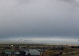
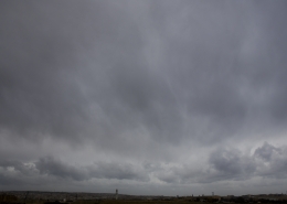
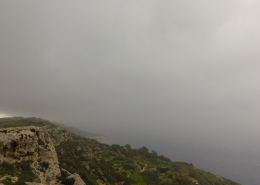
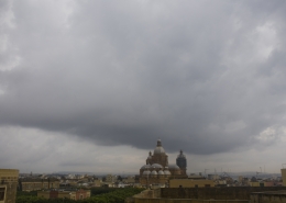
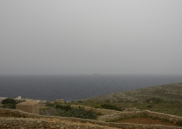
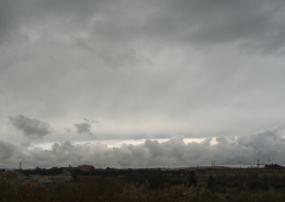
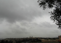
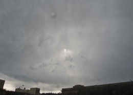
Spreading out of cumulonimbus clouds from a splitting back-building supercell thunderstorm to form an overcast layer of nimbostratus praecipitatio pannus from the thunderstorm’s anvil. The widespread stratus layer seemed to behave like fog as viewed from Dingli cliffs being 250 metres above sea level.
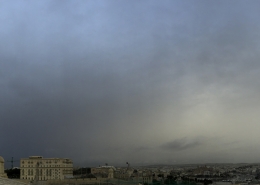
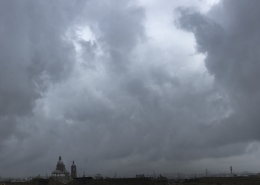
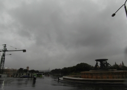
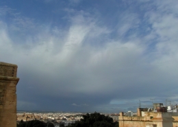
The weather situation causing the day’s thunderstorm clouds was explained here. The satellite animation on the second thumbnail depicts this explained scenario in detail with the left mover dissipating whilst the right mover maintains its strength over the Libyan Sea. The air profile following the passage of the storm changed abruptly with the weather sounding on the first thumbnail taken at 12Z, showing moist mid-levels along with changed wind direction at all levels of the atmosphere and the third thumbnail showing that rain clouds had persisted for more than 7 hours following the storm.
Since both the photographed cumulonimbus and the transformed nimbostratus clouds were linked together, more photos of the former are shown here for further linkages and illustration. The fourth thumbnail shows two swirling eddies of waters most likely the result of a localized microburst or less likely a waterspout. The fifth thumbnail is the black cloud after the cumulonimbus arcus cloud passed over whilst the other side was still sunny. Finally, the sixth thumbnail is a video depicting a micro-burst with heavy rains and Force 9 winds that followed the shelf cloud. However, it was also taken after the main photo. Afterwards, the winds died down and the rainfall rate lessened but still continued unspectecular for many hours as simply a rainy day with an overcast grey sky.








Leave a Reply
Want to join the discussion?Feel free to contribute!