Ns pannus
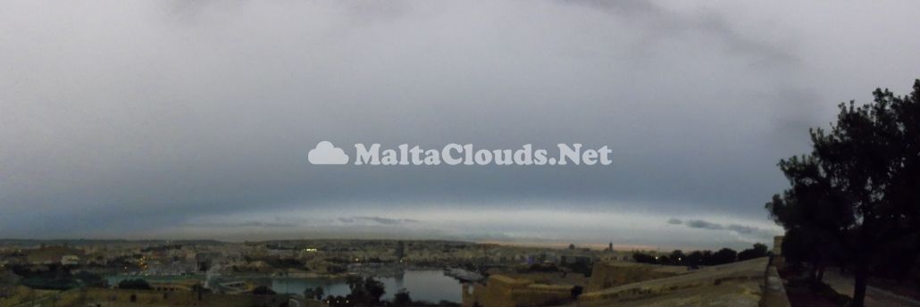
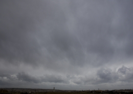
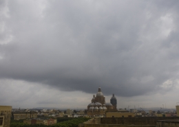
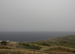
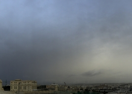
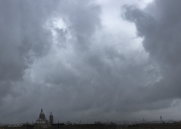
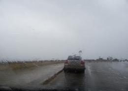
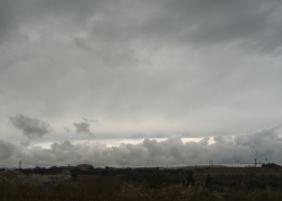
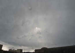
Panoramic photo of a departing nimbostratus cloud at dusk (still producing light rain) with ragged clouds in the background making it pannus accessory feauture. Typical of nimbostratus, the cloud is absolutely featureless and may have been transitioning to altostratus making the background cloud altostratus translucidus nimbostratomutatus as the setting sun was weakly observed from it. The first thumbnail is a single shot of the main cloud photo which precipitation is rendering the base very diffuse. Nimbostratus on the day formed as a result of an approaching upper-level cold trough bringing a sharp temperature difference in the upper atmosphere over the Maltese Islands as shown in the 500mb chart on the sixth thumbnail by which the clouds visible in both the visible and infrared satellite images on the fourth and fifth thumbnails respectively were compared against. The satellite images showed stratiform clouds over the Islands and thunderstorm clouds over the Tyrennhian Sea associated with the centre of the upper-level trough which on the following morning moved towards the Maltese Islands bringing isolated thunderstorm clouds such as the cumulonimbus capillatus incus cloud on the second thumbnail photographed on the following morning as the upper-level cold drop moved overhead Malta as shown on the seventh thumbnail. The cumulonimbus clouds then produced isolated thunderstorms with graupel. The third thumbnail is the weather sounding showing a very moist and still stable airmass ideal for nimbostratus cloud formations whose base was around 1100 metres high. On the following day the airmass became unstable as the upper-levels became colder.









Leave a Reply
Want to join the discussion?Feel free to contribute!