As opacus

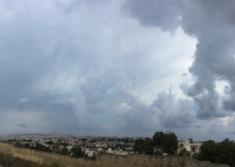
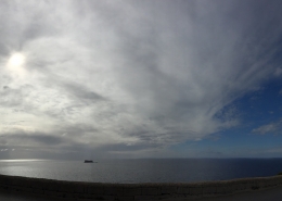
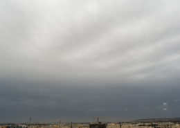
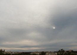
Invading altostratus opacus clouds which completely covered the sky as a wam conveyor belt from developing complex areas of low pressure systems over the Mediterranean approached the Maltese Islands. The warm conveyor belt was identified through means of visible satellite imagery on the third thumbnail which showed a large belt of mid-level to high-level clouds being pulled up from Africa contrary to the general movement of the lower level clouds. The first thumbnail photo shows altostratus translucidus cloud over Valletta captured later during late afternoon. The difference between the two varities is that the sun position was still visible and it is normal for clouds in a conveyor belt to change variety whilst maintaining the same cloud species unless it produces precipitation in which case the cloud species changes to nimbostratus. The cumulus mediocris clouds in the main photo were due to Thermals as a polar maritime airmass was approaching the area. Actually, both of the photographed clouds looked like being high-level clouds however uncharacteristically thick for high clouds. The weather sounding on the second thumbnail indicated that the upper-limit of the higher clouds was only slightly above 7000 metres automatically classifying it as mid-level hence the decision to opt for the altostratus species lacking specific characteristics to be altocumulus and the thaught that the clouds probably formed above the end-level of instability.


Leave a Reply
Want to join the discussion?Feel free to contribute!