Ns praecipitatio

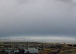
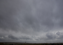
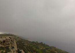
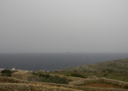
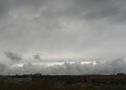
An overcast sky with a steady light to moderate continuous rainfall falling from nimbostratus clouds as a developing warm front very slowly crossed Malta. Shreds of stratocumulus clouds were the result of heavy moisture created by the from falling rain. This produces the pannus accessory cloud. Nimbostratus clouds normally bring high humidity and bad visibility. In fact, the cloud level was as low as 150 metres at times, meaning that Mdina in the background was not visible at all being shrouded in fog as shown in the first thumbnail. The second thumbnail is a panoramic photo of the sky combining the main photo and first thumbnail proving a very featureless and monotonous sky. True to the nature of nimbostratus clouds, the weather sounding on the third thumbnail shows limited instability with heavy moisture from bottom to top of the atmosphere creating a cloud that is not easily dissipated, not even by the very strong late March sunshine. The visible satellite image and the 500mb charts on the fourth and fifth thumbnail are correlated together as the clouds were also the result of the Maltese Islands being situated on the SE side of an upper-level trough, the worst section, which however could not find instability or thermals to power thunderstorms on the day.








Leave a Reply
Want to join the discussion?Feel free to contribute!