Ns praecipitatio

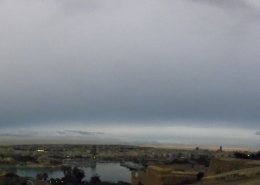
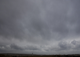
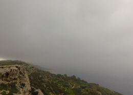
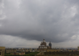
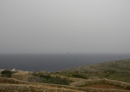
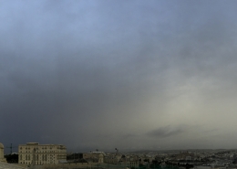
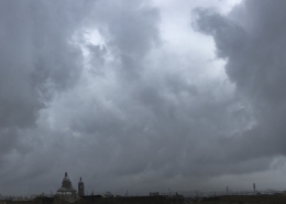
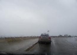
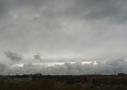
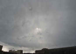
Formation of Nimbostratus (Ns) clouds through thickening of widespread altostratus clouds as a cold front was approaching the Maltese Islands at that time becoming known as Ns altostratomutatus. The atmosphere was generally very stable as indicated by the weather sounding of the first thumbnail hence thunderstorm clouds did not form despite the huge difference in air temperature pre and post the cold front as clearly illustrated on the third thumbnail showing the clouds associated with the cold front and the temperatures in various Mediterranean cities. The nimbostratus cloud only produced light rainfall mostly to the south of Malta. The last 2 thumbnails show other cloud formations later in the day following the passage of the cold front being stratocumulus radiatus and mid-level clouds transforming to altocumulus perlucidus (second photo) as the mid-level airmass was slightly unstable. Sometimes due to the Maltese Islands being surrounded by a warmer sea, more rain could fall after the cold front passes rather than during the cold front itself especially from cool and moist airmasses originating from the North Sea or the North Atlantic.








Leave a Reply
Want to join the discussion?Feel free to contribute!