Cc stratiformis
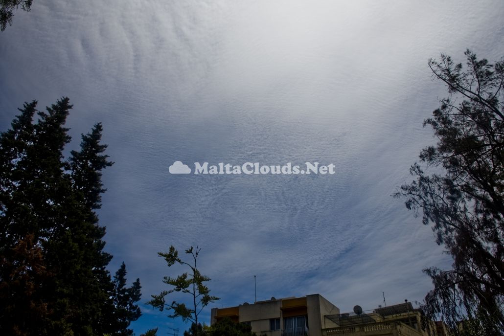
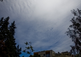
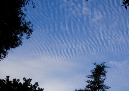
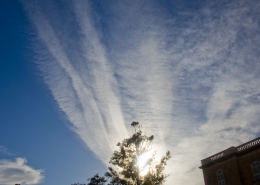
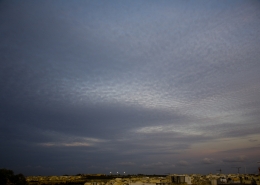
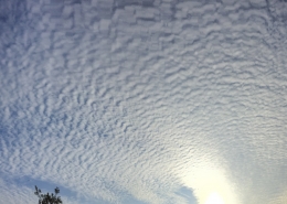
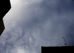
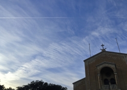
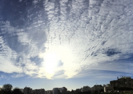
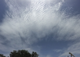
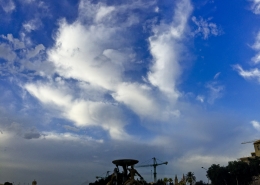
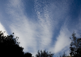
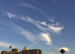
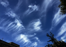
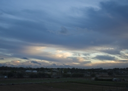
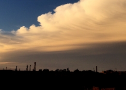
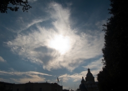
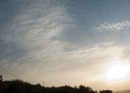
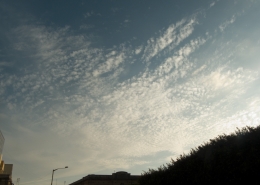
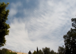
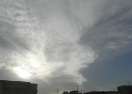
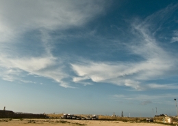
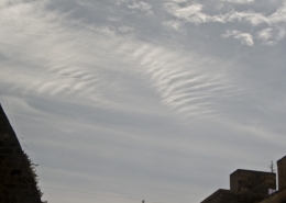
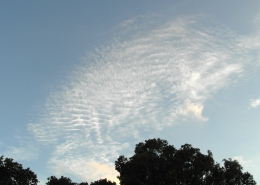
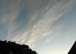
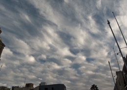
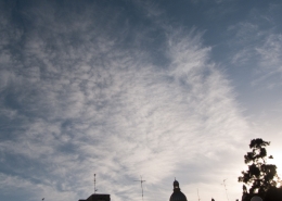
. Formation of cirrocumulus stratiformis clouds with undulations on part of the cloud cover. Though such clouds are normally associated with approaching fair but chilly weather, in this case, these were harbingers of the imminent arrival of an African low pressure system in association with an upper-level trough approaching from the west Mediterranean as shown in the seventh and sixth thumbnails respectively. The visible satellite image on the fifth thumbnail proves that the photographed clouds were truly part of this system. Typical of such cloud, it covered quite a large chunk of the sky and was composed of very small elements having an apparent width of less than 1° and without shading. The first thumbnail is a heavily zoomed in view of part of the cloud proving that the width was so small that the cloud elemts still looked like small grains of rock in the sky. Furthermore, very small undulations can be observed in the foreground of the main photo whilst the second thumbnail shows undulations at a lower part of the cirrocumulus clouds. The weather sounding of that afternoon showed high-level clouds at heights of between 9km and 12.4km along with wind shear producing the undulatus variety as wind speed increased from 53kmh at 9km to 113kmh at the 12km altitudes. The high altitude temperature was below -40C hence one could be certain that the cloud elements were composed entirely from ice crystals despite not witnessing irridesence as the sun was very high in the sky. The third thumbnail is a photo taken on the previous evening showing cirrostratus or cirrus fibratus clouds even before the actual low pressure system took shape. This shows how high-level clouds could form thousands of kilometers before the arrival of the actual bad weather system that was explained here ‘Sc radiatus’ and which is related with this formation.














Leave a Reply
Want to join the discussion?Feel free to contribute!